![]()
The Round Robin phase of the Land_Cover_cci project is now officially open
Submitted by Anonymous on Sun, 2011-04-03 21:21


The Round Robin phase of the Land_Cover_cci has officially kicked-off on April 1st 2011 and will last several months. This exercise aims at identifying the best pre-processing and classification algorithms for the production of a global satellite data-based land cover product. Interested parties are encouraged to test and propose their own algorithms on a set of data that are made available to the external community. Please find more details in the > resources > round robin section of the Navigation panel at the left of the screen (or here).
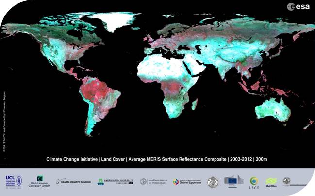
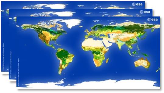
CCI Land Cover products