![]()
MERIS surface reflectance time series
Submitted by Anonymous on Wed, 2014-10-01 22:29


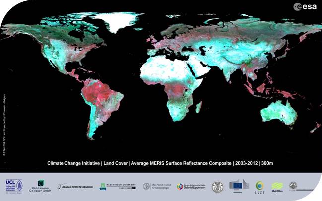
MERIS surface reflectance time series
The surface reflectance (SR) products consist of MERIS global time series covering the 2003-2012 period . The spectral content encompasses the 13 surface reflectance channels – the atmospheric bands 11 and 15 being removed – and the spatial resolution is of 300 m for the Full Resolution (FR) and 1000 m for the Reduced Resolution (RR). The time series are made of temporal syntheses obtained over a 7-day compositing period. In order to simplify the handling and analysis of global datasets, the MERIS SR time series are delivered in 5°x5° tiles.
Pre-processing: The pre-processing chain generates global SR time series by a series of pre-processing steps, including radiometric corrections, geometric correction, pixel identification, atmospheric correction with aerosol retrieval, BRDF corrections as well as compositing and mosaicking.
Quality control of input products: The MERIS dataset is very valuable and the use of the full mission dataset in the CCI-LC project in a consistent manner is a major effort. It requires advanced techniques for the development of specific quality checks related to the input data
The quality of each global multispectral SR composite is described, on a per-pixel basis, by a set of flags and values: uncertainties for each spectral band, current status of surface, uncertainties for each spectral band, number of observations with clear sky land coverage, water coverage, clear sky snow and ice coverage, cloudy coverage and cloud shadow coverage for each pixel. The uncertainties of the surface directional reflectance value is calculated from the contributions of each error source, assuming a negligible correlation between the different error sources.
The obtained values are compared with in-situ data from CEOS LandNet sites and with reflectance products available from other sensors and other projects. Besides assessing the quality of individual composites, the quality of the global SR time series is also documented, with the aim of quantifying their discrimination potential.
For more information on the products, go to: http://maps.elie.ucl.ac.be/CCI/viewer.
For any further questions or concerns, contact us at contact@esa-landcover-cci.org.
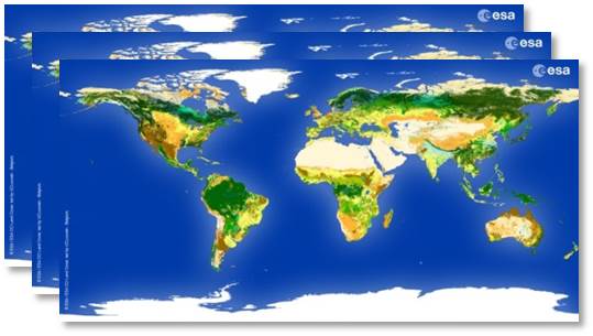
CCI Land Cover products