![]()
Round-robin for classification
Submitted by Anonymous on Thu, 2011-03-31 15:34


With regard to the classification, the Round-Robin is articulated in two independent activities. The first one concerns a global and generic classification methodology using optical time series while the second one is related to class-specific discrimination algorithms and makes use of both optical and SAR dataset.
In the first classification Round-Robin activity, three algorithms are tested:
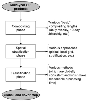
• the compositing phase, where the impact of the “basic” compositing period on the classification algorithm(s) performance should be assessed;
• the spatial stratification phase, where the alternative approaches could be either a global approach (i.e. classifying the entire world as a single dataset), the local grid approach (i.e. gridding the entire world in regular rectangular small cells) and a stratified approach (i.e. stratifying the entire world in regions homogeneous with respect to specific criteria);
• the classification phase, where any alternative can be foreseen as far as the proposed approach is consistent at the global scale, can handle with multi-year dataset to provide a unique land cover map which is consistent over time (i.e. not sensitive to annual conditions) and has a reasonable processing time.
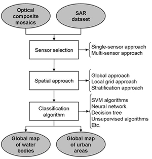
In the second classification Round-Robin activity, the use of SAR imagery is targeted. Three algorithmic steps are involved:
• the input data selection, considering that the SAR dataset has to be used. Consequently, two alternatives can be foreseen, which are a single-sensor SAR-based approach or an approach combining both dataset;
• the spatial approach, where the alternative processing algorithms could be either a global approach (i.e. classifying the entire world as a single dataset), the local grid approach (i.e. gridding the entire world in regular rectangular small cells) and a stratified approach (i.e. stratifying the entire world in regions homogeneous with respect to specific criteria);
• the classification algorithms to be developed, where any alternative can be foreseen as far as the proposed algorithm is consistent at the global scale and has a reasonable processing time.
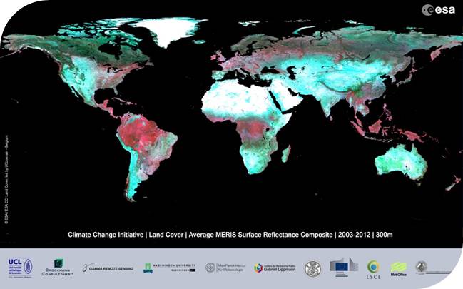
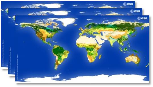
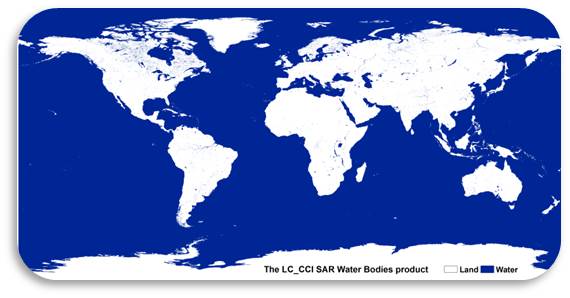
CCI Land Cover products