![]()
The Urban Round Robin is launched !
Submitted by abellavia on Sun, 2015-10-18 15:53


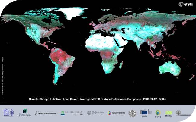
Through the ESA Climate Change Initiative, a dozen of essential climate variables have been addressed to meet the needs of the climate modeling community. Land cover is one of these priority variables and a first version of 300m global land cover maps is already available.
In order to exploit the Sentinel-1 SAR data to improve the urban land cover class, we are launching a call to participate to a SAR Urban Round Robin. This Round Robin aims at identifying the “best” algorithms/processing chain. This call gives the opportunity to any external research team to engage, propose detection/classification algorithms, and demonstrate their performance.
This benchmarking over 5 sites using a common Sentinel-1 data set will allow assessing the respective performances and understanding how much they meet the targeted criteria as defined in the RoundRobin protocol. The start of the Round Robin activity is September 2, 2015 and result are due for December 1, 2015. An independent validation will be carried out under the supervision of CCI-LC consortium in December and results will be shared with all participants.
If you are interested, please find the document on how to participate at http://maps.elie.ucl.ac.be/CCI/viewer/ (Urban Round Robin button above the map, on the right) and download the Sentinel-1 data from our geoportal.
More information in the CCI_LandCover Newsletter Special Issue : The Urban Round-Robin
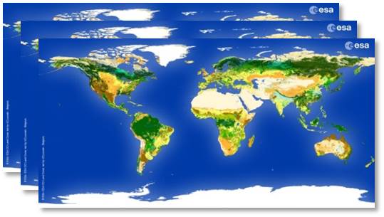
CCI Land Cover products