![]()
New video available : Changing Lands Animation
Submitted by abellavia on Mon, 2018-01-22 15:09


Land cover maps describe the different types of materials on the Earth's surface, such as water bodies, ice cover, crops, forests, grasslands and artificial surfaces. This information is important for tracking changes in land use, conserving biodiversity, managing natural resources, and understanding climate change.
In collaboration with Planetary Vision and CCI Land Cover team, ESA puts online an animation showing how satellite data and the ESA’s Climate Change Initiative are mapping land cover around the world. Please click here to watch the animation
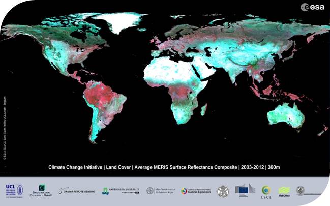
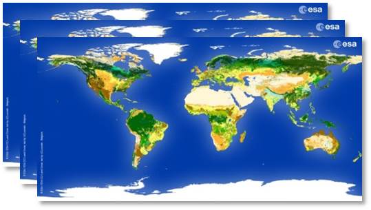
The CCI Land Cover team announced in April 2017 the official release of the first time series of annual global Land Cover maps at 300 m spanning a 24-year period, from 1992 to 2015. The 24 maps are available for visualization and download on the following website : http://maps.elie.ucl.ac.be/CCI/viewer/index.php.
Since the release, 11,000 downloads have been recorded for a total amount of 21 TB. Our community counts 4,200 users spanning from international companies to non-profit institutions with varied activities such as flight simulations and environmental accounting. The CCI land cover project continues to build a wide and dynamic user community.
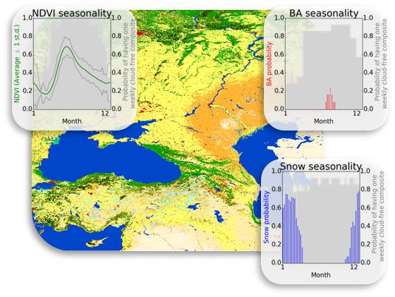
In September 2017, a prototype high resolution Land Cover map over Africa was also released. It has been developed at 20m, based on 1 year of Sentinel-2 A satellite observations from December 2015 to December 2016. The main objective to make public this prototype is to collect user’s feedback for further improvements. In this context, there has already been 1000 downloads and 17 000 views. The link to prototype is here.
After the successful release of annual global Land Cover maps at 300 m and the delivery of the prototype land cover map of Africa at 20 m, the CCI Land Cover team is working now to generate a land cover map of Mexico and Central America using S2 A and B at 10 m.
Moving from medium to high spatial resolution is a willing of CCI land cover team.
CCI Land Cover products