![]()
2nd CCI Land Cover User Workshop : Presentations available
Submitted by abellavia on Wed, 2019-04-17 12:58


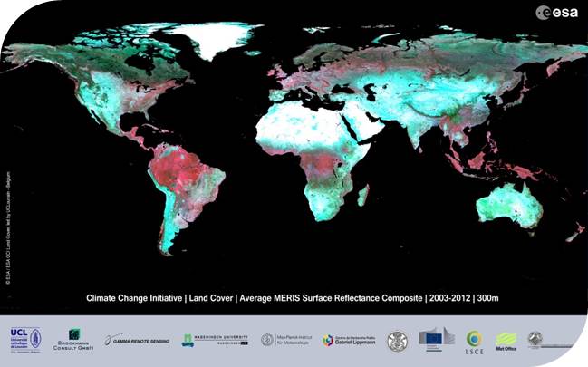
The 2nd CCI Land Cover workshop took place on 24th September 2018 in ESA/ESRIN. The activities and key achievements of the CCI Land Cover team over the last years were presented: fully automated global land cover mapping at 300m resolution. It's obvious the datasets are being used by the community.
The team took the opportunity to introduce the Copernicus Climate Change Service within which annual LC maps at 300 m will continue to be generated for 2016, 2017, 2018 and 2019.
Finally, moving towards high resolution, the team presented the 20m Africa and 10m MesoAmerica LC prototypes.
For those who could not attend the meeting see the presentations.
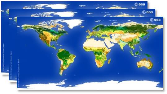
As usual, CCI Land Cover products can be downloaded here below :
http://maps.elie.ucl.ac.be/CCI/viewer/index.php (top right red button)
CCI Land Cover products